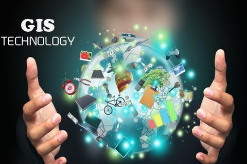
The entry level of this program is focused on Geospatial Information Science (GIS) Technology and the ability to apply it to the coastal environment. This skill is sought after in both environmental data acquisition and analysis in the industry’s search for qualified employees at the entry and experienced career levels. Topics include map design fundamentals, thematic mapping, statistical cartography, the relationship of mapping to GIS, essential elements of GIS, data acquisition and analysis, visualization of output, remotely sensed imagery and GIS, GIS functions and associated applications, and spatial decision support systems.
- Enroll in Programs
- Get Support with Unique Circumstances
- First-Generation/Low-Income
- Adult Education
- Justice Involved Person
- Pell Eligible
- English Learners
- Youth of Active Military
- Individuals Preparing for Non-traditional Careers
- Single Parents & Single Pregnant Women
- Individuals with Disabilities
- Homeless Individuals
- Individuals Out of the Workforce
- Youth In or “Aged Out” of Foster Care
- Explore Career Clusters
- Agriculture, Food, & Natural Resources
- Architecture & Construction
- Arts, A-V Technology, & Communication
- Business Management & Administration
- Education & Training
- Finance
- Government & Public Administration
- Health Sciences
- Hospitality & Tourism
- Human Services
- Information Technology
- Law, Corrections, Public Safety, & Security
- Manufacturing
- Marketing
- STEM
- Transportation, Distribution, & Logistics
- Develop Career Skills
- Find a Job
- Region 1 Initiatives